Six Coasts at a Glance
| Coast | Sea | Rock and landscape | Access | Best for |
|---|---|---|---|---|
| Stockholm archipelago | Baltic | Granite skerries, pine islands | Public boats from Strömkajen | Sailors, families |
| Bohuslän | Skagerrak | Bare pink granite, fishing villages | Car and bus from Gothenburg | Seafood, kayaking |
| Gothenburg islands | Kattegat | Small car-free islands | Tram and ferry via Saltholmen | Families, day trips |
| High Coast | Gulf of Bothnia | Raised shorelines, red granite | Car via the E4 | Hikers |
| Gotland and Fårö | Baltic | Limestone, sea stacks, beaches | Ferry from Nynäshamn or Oskarshamn | Cyclists, history |
| Öland | Baltic | Flat alvar, windmills | Bridge from Kalmar | Families, birders |
Stockholm Archipelago
Around 30,000 islands, islets and rocks spread roughly 80 km out from the capital. Locals divide it into three bands. The inner archipelago is wooded and close: Fjäderholmarna is a short hop, and Vaxholm, with its 16th-century fortress, is about an hour by boat. The middle band holds Grinda, a favourite for swimming and overnight stays, and Möja. The outer band is bare and windswept, with Sandhamn, a sailing hub, and Utö, known for its old iron mine and cycling.
Waxholmsbolaget runs the public boat network, and its timetables expand in summer. A week of island-hopping is possible without a car or boat licence.
Bohuslän and the West Coast
North of Gothenburg the rock turns pink and treeless. Marstrand is crowned by Carlsten Fortress. Smögen's harbour boardwalk is lined with red fishing sheds. Fjällbacka sits beneath the Vetteberget crag. Further north, Kosterhavet became Sweden's first marine national park in 2009, protecting a cold, deep-water reef environment. Inland near Tanum, Bronze Age rock carvings are a UNESCO World Heritage Site.
The coast is known for shellfish. Sweden's lobster season opens in late September, and the colder months bring oysters and mussels.
Gothenburg's Southern Archipelago
Styrsö, Brännö, Vrångö and their neighbours are largely car-free and reached on regular public transport ferries from Saltholmen. They make the easiest family day out on the Swedish coast: bike or walk, swim from rocks, return the same evening.
The High Coast
On the Gulf of Bothnia, the land is still rising after the weight of the ice sheet lifted. The highest shoreline sits about 286 m above today's sea level, the highest known anywhere. UNESCO listed the High Coast in 2000, later joined by Finland's Kvarken Archipelago. The High Coast Trail runs about 130 km, and Skuleskogen National Park has the Slåttdalsskrevan gorge.
Gotland and Fårö
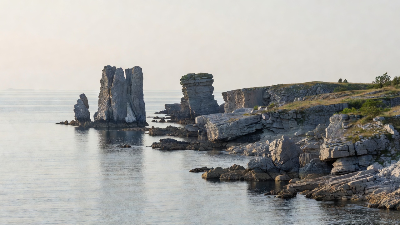
Sweden's largest island sits in the Baltic about three hours by ferry from the mainland. Visby, a UNESCO site since 1995, keeps a medieval town wall roughly 3.4 km long. Fårö, reached by a free ferry from Fårösund, has the best raukar fields at Langhammars and Digerhuvud, and was home to the film director Ingmar Bergman.
Öland
Linked to Kalmar by a bridge about 6 km long, Öland is flat, sunny and lined with windmills. The Stora Alvaret limestone plain anchors the Agricultural Landscape of Southern Öland World Heritage Site. At the southern tip, Långe Jan is Sweden's tallest lighthouse.
Who Each Coast Suits
- Sailors: Stockholm and Bohuslän offer the region's best cruising, with many natural harbours.
- Hikers: the High Coast, with real elevation and forest trails.
- Families: Gothenburg's car-free islands, Öland and Grinda.
Skerry Fact Blocks
What is allemansrätten?
Sweden's right of public access lets you walk, swim, moor briefly and camp for a night on most uncultivated land, provided you do not disturb or damage.
Is Baltic water salty?
Only slightly. Salinity is low around Stockholm and drops further north, which is why the west coast feels more like the open sea.